
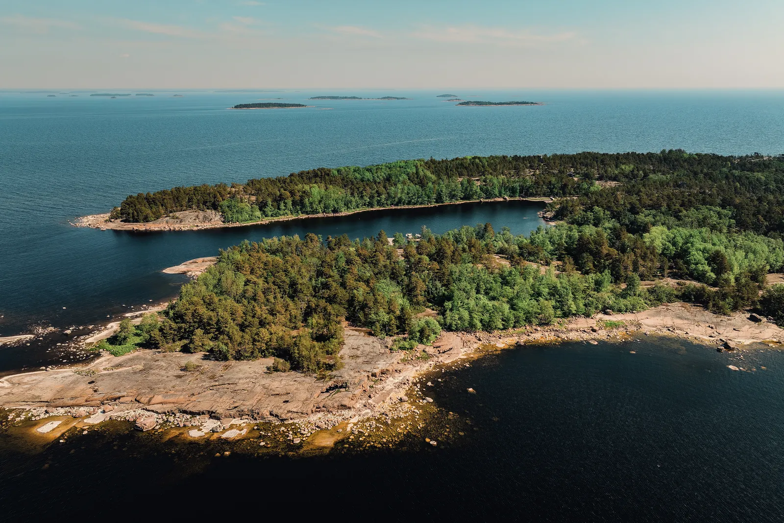
Photo: Ukkonen / Cursor Oy.
Ulko-Tammio by boat – a Continuation War fortress in an outer archipelago national park
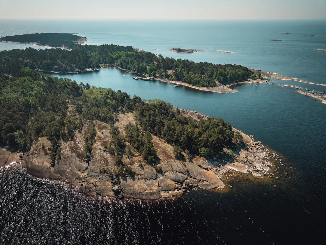
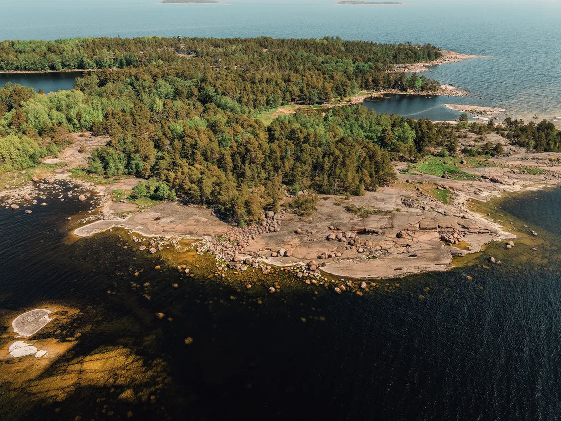
Ulko-Tammio is an uninhabited island in Hamina's outer archipelago and the most popular destination in the Eastern Gulf of Finland National Park. Länsilahti bay on the north-west side of the island has the national park's only sheltered harbour, and on the island a nature trail and a war history trail run past the guns of the Continuation War fortress, a tunnel cut into the rock and a birdwatching tower.
Details checked against sources in October 2026.
Services on site
- Guest jetty
- Toilet
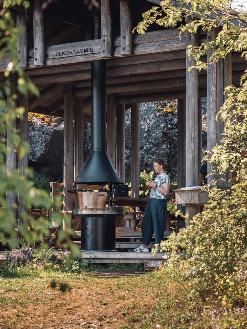
- Barbecue area
- Nature trail
Many services are only open in the summer season, so check opening hours on the destination's website.
Why go to Ulko-Tammio?
A guard detachment was stationed on Ulko-Tammio in summer 1939. After the Winter War the border moved, and the island became an outpost on the new eastern border. The actual fortification work began on 15 June 1941, just ten days before the outbreak of the Continuation War, and at its strongest, in September 1944, the fortress had 370 men.
In July 1942, the fortress's heavy gun took part in the Battle of Someri, and a memorial plaque to the battle was unveiled on the island on its 30th anniversary in July 1972. After the armistice, the fortress's guns were moved elsewhere on the orders of the Control Commission. The Kotka coastal artillery battalion has since returned a 152-millimetre Canet coastal gun to a former gun position, and its details are given on an information board.
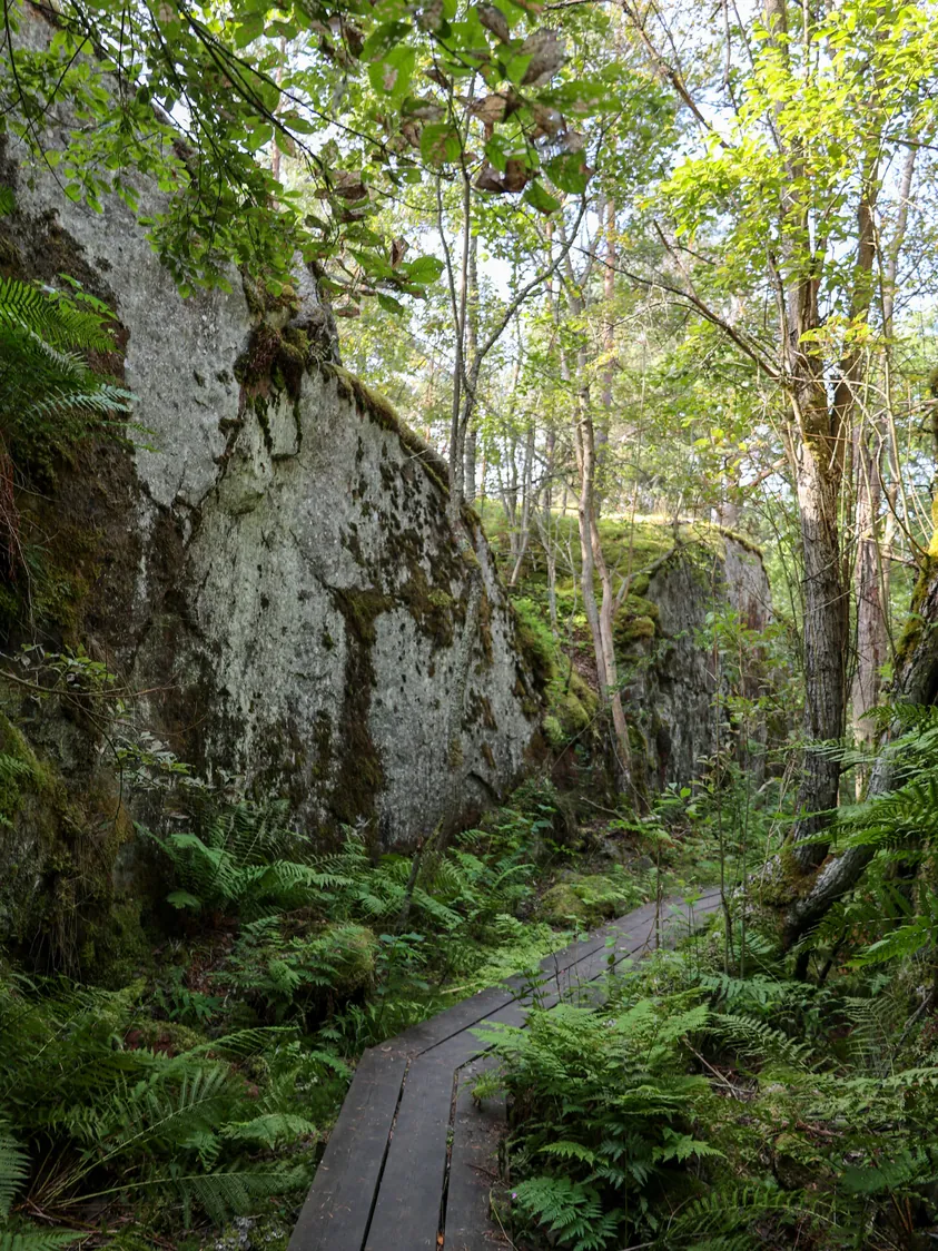
In the middle of the island there is a tunnel cut into the rock, which was left unfinished during the war. The war history trail runs to the northern parts of the island, past restored guns, information boards about the war years and the tunnel. The island has lush herb-rich woodland, and in the middle of the island there is an observation tower with views across the national park all the way to Suursaari.
Visit Kotka-Hamina declared Ulko-Tammio a phone-free island for summer 2023, and the idea is to keep your phone in your pocket and focus on nature. Taking part is voluntary, and the island has a working mobile network. Ulko-Tammio suits a day that combines outer archipelago nature and military history.
Up-to-date information
- Ulko-Tammio excursion harbour – Visit Kotka-Hamina (opens in a new tab)
- Ulko-Tammio – Visit Kotka-Hamina (opens in a new tab)
- Ulko-Tammio – frequently asked questions – Visit Kotka-Hamina (opens in a new tab)
- Finland introduces the world's first phone-free tourist island – Visit Kotka-Hamina (opens in a new tab)
- Archipelago – Visit Kotka-Hamina (opens in a new tab)
- Arriving at the national park by water – Luontoon.fi (opens in a new tab)
- Overnight stays in the Eastern Gulf of Finland – Luontoon.fi (opens in a new tab)
- Eastern Gulf of Finland National Park rules and guidelines – Luontoon.fi (opens in a new tab)
- History of the Eastern Gulf of Finland – Luontoon.fi (opens in a new tab)
- Ulko-Tammio nature trail – Luontoon.fi (opens in a new tab)
- Ulko-Tammio war history trail – Luontoon.fi (opens in a new tab)
- Ulko-Tammio – outpost of the eastern border – Metsähallitus (opens in a new tab)
- Eastern Gulf of Finland National Park regulations – Metsähallitus (opens in a new tab)
Who is this trip for?
The trip suits those interested in military history and nature, hikers and anyone who wants to experience an outer archipelago national park. Of our destinations from Kotka, this is the longest journey, so set aside a full day for the trip.
Route to Ulko-Tammio
Sapokka → Ulko-Tammio
- Distance / one way
- 19 nm
- Travel time / one way
- approx. 55 min
- Fuel / one way
- approx. 17 l
- Fuel / round trip
- approx. 35 l
Travel times are calculated at a cruising speed of 25 knots and include the slower sections of the route. The fuel estimate is based on a consumption of 0.9 l/nm. Actual consumption depends on the boat, the weather, load and driving style.
Speed is reduced at the start of the route in Sapokka marina and at the very end before the Länsilahti jetty, and the slower sections are included in the estimated travel time. Of our Kotka destinations, Ulko-Tammio is the furthest out in the outer archipelago, so check the weather and wind forecast for the whole day. The depth in Länsilahti is about 1–3 metres, and a locally marked channel leads into the bay. There is also an underwater rock in the bay, so check the approach on the nautical chart and come in to the jetty slowly.
Loading the map…
Travel times are estimates without stops and depend on the conditions. The round-trip fuel estimate assumes you return the same way. Also allow time for the destination itself.
Wind forecast: Ulko-Tammio
Loading the wind forecast…
Suggested plan for a day trip
This is a flexible idea for a self-guided day trip to Ulko-Tammio.
- 01
Look at the route and the estimated travel time, and check the weather and wind forecast for the whole day, as Ulko-Tammio is in the outer archipelago.
- 02
Pack a picnic and drinking water, as there is no café or shop on the island.
- 03
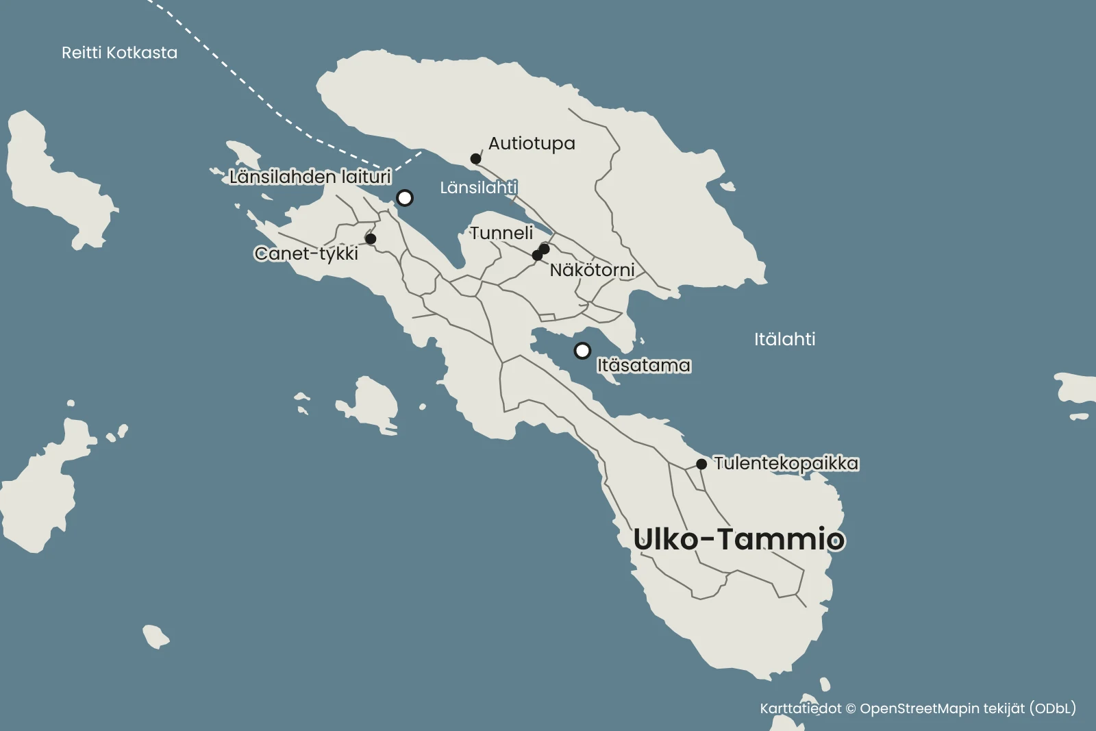
Moor the boat at the Länsilahti jetty. If the jetty is full, there are rock rings for mooring in both Länsilahti and Itälahti.
- 04
Walk the roughly three-kilometre nature trail in the recommended anticlockwise direction and climb the observation tower to look out over the islands of the national park.
- 05
Continue on the war history trail to the northern parts of the island, to the guns and the tunnel cut into the rock.
- 06
Have a picnic break at the campfire site and start the return trip in good time, taking into account the weather and the boat's return time.
Länsilahti jetty
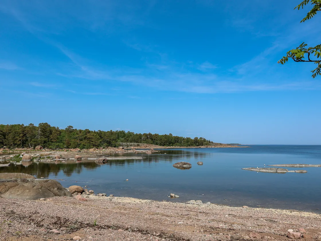
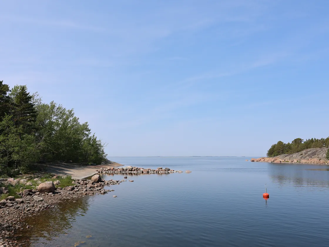
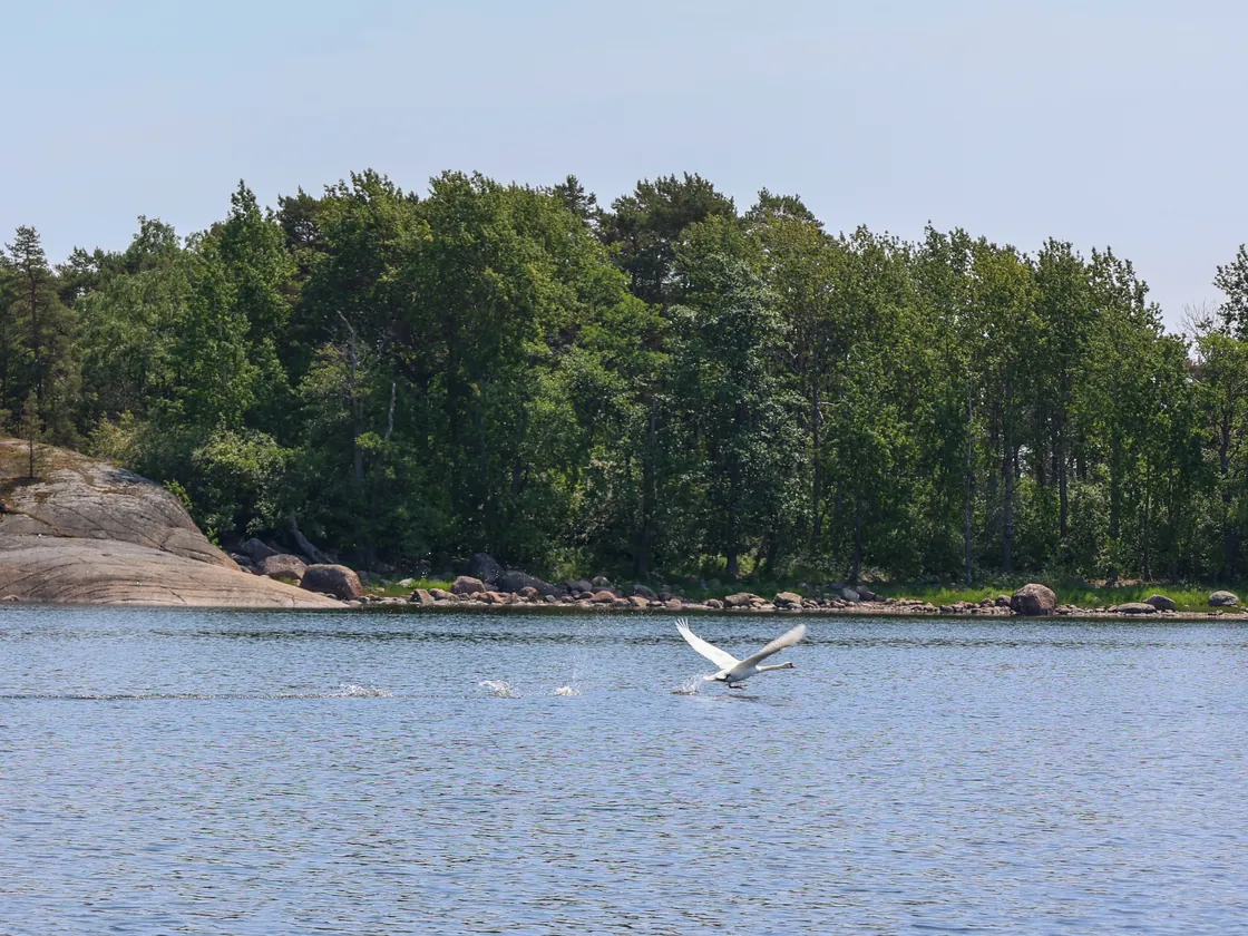
The Ulko-Tammio jetty is in Länsilahti bay on the north-west side of the island, and the island is the only one of the national park's excursion islands with jetties. The depth of the bay is about 1–3 metres, and there are crib and pontoon jetties for several boats.
On the opposite side of the island, Itälahti bay has the Itäsatama jetty and anchoring spots next to the rocks. To protect the seabed, however, it is best to avoid anchoring. In summer there are also cruises to the island from Kotka and Hamina.
At weekends in June and July, a Metsähallitus guide has been present on the island. Check the season's guided tours and services on Luontoon.fi and the Visit Kotka-Hamina website.
Services and national park rules
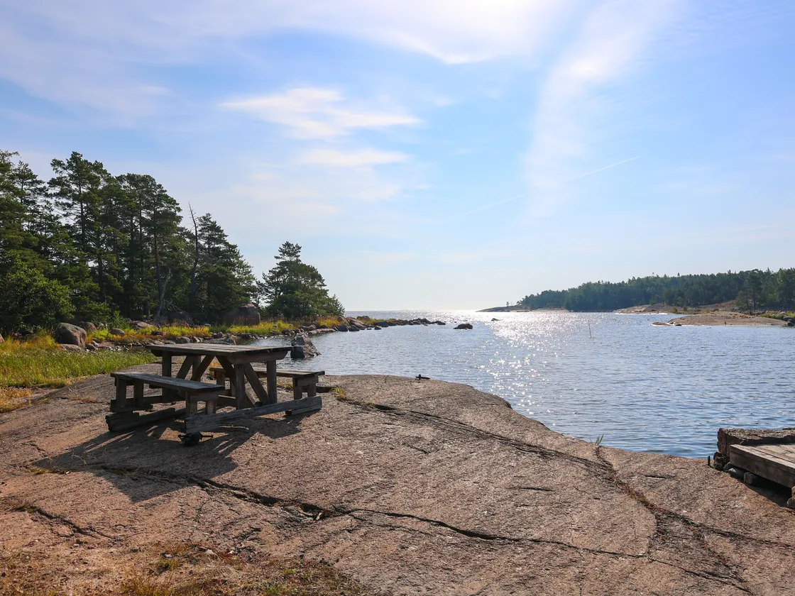
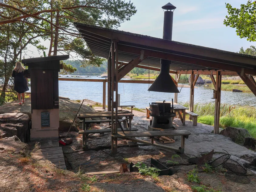
The island has several covered campfire and barbecue shelters, a camping area and an open wilderness hut. There is a dry toilet on the island, and water from the well in the central part of the island must be boiled before drinking. No food is available in the national park and there are no waste bins, so bring food and drinking water with you and take your rubbish away.
Under the national park's regulations, fires may only be made at designated sites, and camping is only permitted in marked camping areas. Only use firewood that has been brought to the site. When a wildfire warning is in force, fires may only be made in cooking shelters with a chimney. Keep pets on a lead.
In the Eastern Gulf of Finland National Park, landing is prohibited on some islands during the nesting season or all year round; for example, landing on Ulko-Tammionluoto is prohibited from 1 April to 15 August. Movement is also restricted in military protection areas, and the border zone that begins about three nautical miles from Ulko-Tammio has its own restrictions. Check the latest restrictions on movement on Luontoon.fi if you plan to stop at other islands on the way.
Agree on refuelling with the boat owner before you set off.
Up-to-date information
- Ulko-Tammio excursion harbour – Visit Kotka-Hamina (opens in a new tab)
- Ulko-Tammio – Visit Kotka-Hamina (opens in a new tab)
- Ulko-Tammio – frequently asked questions – Visit Kotka-Hamina (opens in a new tab)
- Finland introduces the world's first phone-free tourist island – Visit Kotka-Hamina (opens in a new tab)
- Archipelago – Visit Kotka-Hamina (opens in a new tab)
- Overnight stays in the Eastern Gulf of Finland – Luontoon.fi (opens in a new tab)
- Eastern Gulf of Finland National Park rules and guidelines – Luontoon.fi (opens in a new tab)
- History of the Eastern Gulf of Finland – Luontoon.fi (opens in a new tab)
- Ulko-Tammio nature trail – Luontoon.fi (opens in a new tab)
- Ulko-Tammio war history trail – Luontoon.fi (opens in a new tab)
- Ulko-Tammio – outpost of the eastern border – Metsähallitus (opens in a new tab)
- Eastern Gulf of Finland National Park regulations – Metsähallitus (opens in a new tab)
Accommodation and overnight stays on Ulko-Tammio
On Ulko-Tammio you can stay overnight in a tent in the marked camping area or in the open wilderness hut maintained by Metsähallitus on the northern shore of Länsilahti. The free hut sleeps six and cannot be booked in advance, so bring a tent as a back-up and check the details on Luontoon.fi before you set off.
Moor the boat for the night according to the harbour's instructions.
Remember before you set off
- Food and drinking water for the whole day.
- Walking shoes for the nature trail and the war history trail.
- Clothing suitable for the weather and a warm layer for the outer archipelago.
- Agree on refuelling with the boat owner before you set off.
Shall we head out on a boat trip to Ulko-Tammio?
Rental boats in the Kotka–Hamina area are listed on Friilo. Agree on the boat's pickup and refuelling with the boat owner.
See also
- VarissaariPlan a boat day to Varissaari from Sapokka in Kotka. See the route, travel time and tips for the jetty, the summer restaurant and the Fort Elisabeth fortress.Read the trip guide
- Kaunissaari (Pyhtää)Plan a boat day to Kaunissaari in Pyhtää from Sapokka in Kotka. See the route, travel time and tips for the guest harbour, the fishing village and the sandy beaches.Read the trip guide
- HaapasaariPlan a boat day to Haapasaari from Sapokka in Kotka. See the route, travel time and tips for the guest jetty, the co-operative shop and a walk in the old pilot village.Read the trip guide
Similar destinations by theme: Short boat trips