
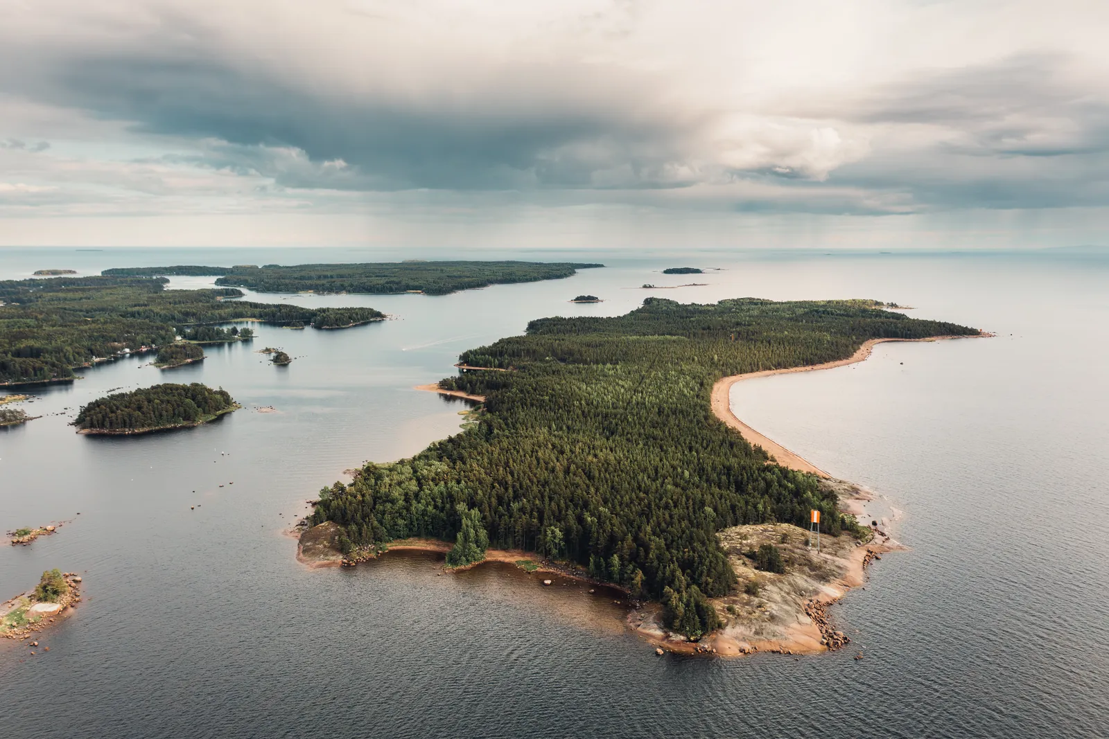
Photo: Antti Ukkonen / Cursor Oy.
Lehmäsaari by boat – a beach day just a short trip away
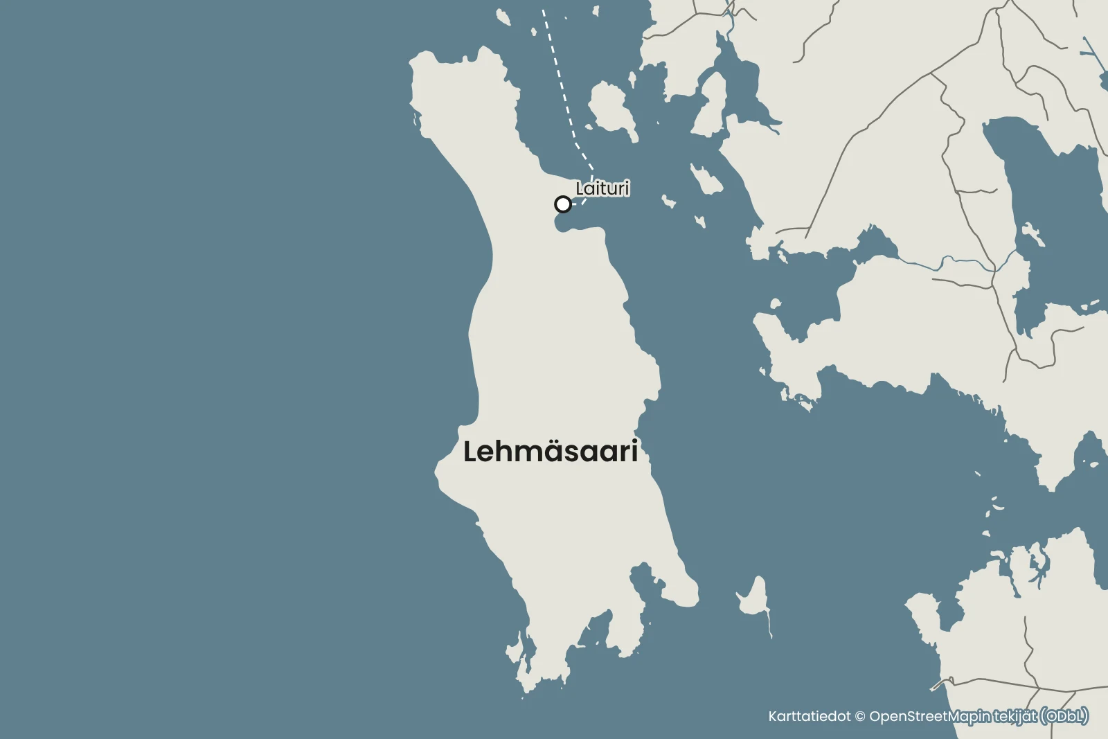
Lehmäsaari is an island off Kotka, about 2.5 kilometres long and up to 800 metres wide. The island's east shore is a long sandy beach, and the island has three shelters with campfire sites as well as trails for walks. Arriving by boat, you land in the bay on the east shore known as Lehmän monttu.
Details checked against sources in October 2026.
Services on site
- Guest jetty
- Toilet
- Barbecue area
- Swimming beach
- Nature trail
- No water point
Many services are only open in the summer season, so check opening hours on the destination's website.
Why go to Lehmäsaari?
Lehmäsaari is part of a longer esker chain, and its esker area is of regional value. The island's sandy beaches drop off steeply and are suitable even for boats with a deep draught.
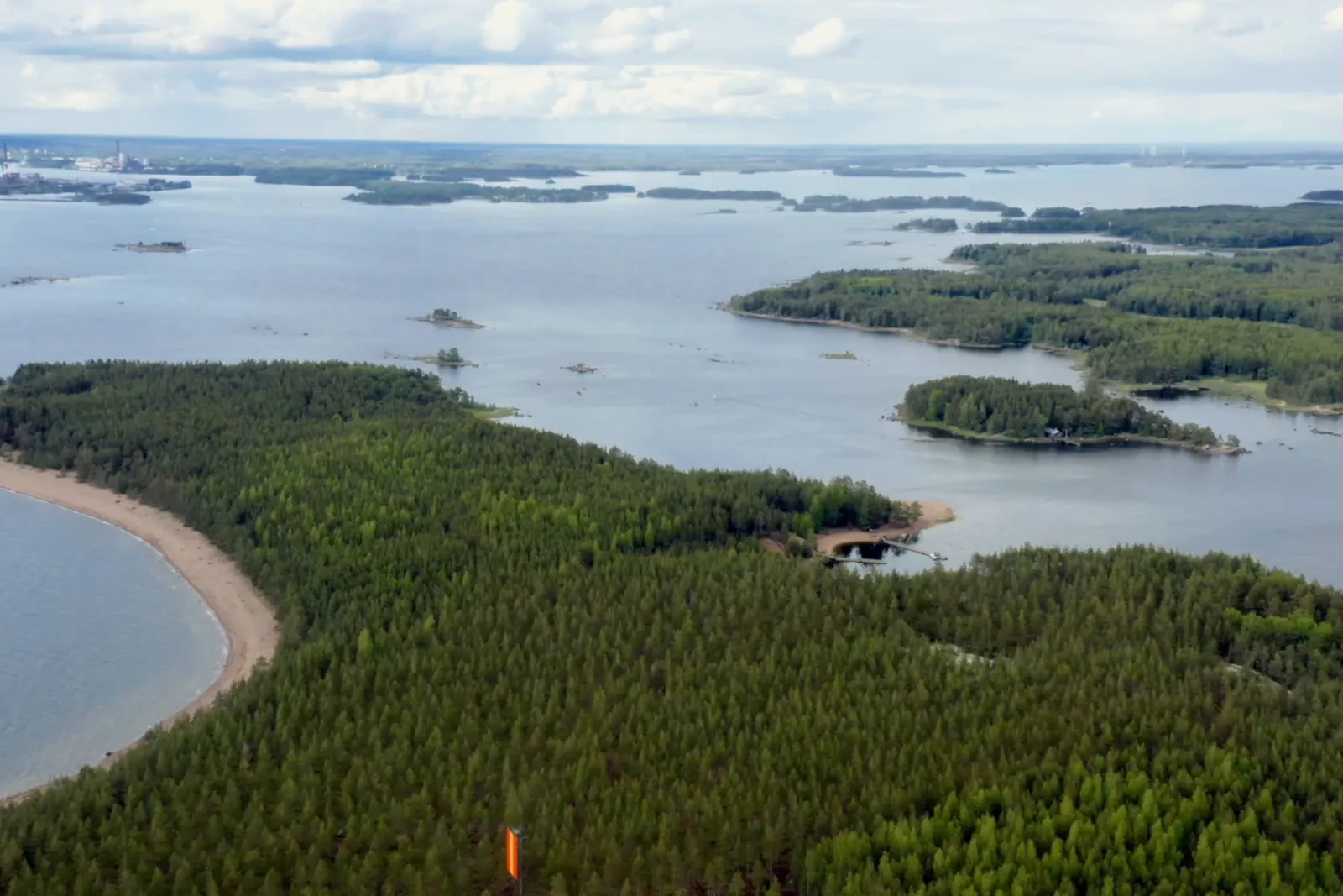
The island is mainly covered by pine forest, with herb-rich woodland in places. Apart from the rocky shores at the northern and southern tips, the east shore is one long sandy beach, and the smooth sandy shore is a swimmer's paradise.
Lehmäsaari is part of Kotka National Urban Park, which begins in the south at Lehmäsaari and the waters where the naval Battle of Ruotsinsalmi was fought. The island has so many trails that everyone can choose a walk of the right length.
Because the journey is short, Lehmäsaari is also well suited to a swimming trip of a few hours or an afternoon picnic.
Up-to-date information
Who is this trip for?
The trip suits families with children, swimmers and anyone who wants to spend a day at the beach without a long boat journey. The sandy beaches drop off steeply, so keep small children close to you on the jetties and on the shore.
Route to Lehmäsaari
Sapokka → Lehmäsaari
- Distance / one way
- 3 nm
- Travel time / one way
- approx. 20 min
- Fuel / one way
- approx. 2 l
- Fuel / round trip
- approx. 5 l
Travel times are calculated at a cruising speed of 25 knots and include the slower sections of the route. The fuel estimate is based on a consumption of 0.9 l/nm. Actual consumption depends on the boat, the weather, load and driving style.
Speed is reduced at the start of the route in Sapokka marina and on the final stretch before Lehmän monttu, and the slower sections are included in the estimated travel time. Lehmäsaari is a short trip from Sapokka, so you can even make the trip in the afternoon. Lehmän monttu is on the island's east shore, so check the approach on the nautical chart and come in to the jetties slowly.
Loading the map…
Travel times are estimates without stops and depend on the conditions. The round-trip fuel estimate assumes you return the same way. Also allow time for the destination itself.
Wind forecast: Lehmäsaari
Loading the wind forecast…
Suggested plan for a beach day
This is a flexible idea for a self-guided day trip to Lehmäsaari.
- 01
Look at the route and the estimated travel time, and check the day's weather and wind forecast.
- 02
Pack a picnic, drinking water and swimming gear, as there is no café or shop on the island.
- 03
Moor the boat at the jetty in Lehmän monttu.
- 04
Choose a spot on the long sandy beach on the east shore and enjoy a swim.
- 05
Walk a loop of a suitable length along the trails and have a picnic break at a shelter.
- 06
Start the return trip in good time, taking into account the weather and the boat's return time.
Lehmän monttu and the jetties
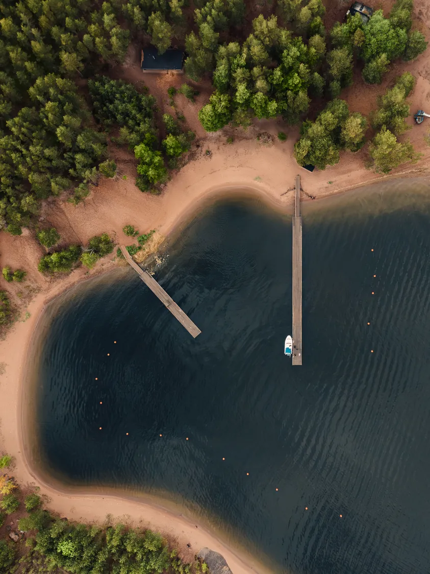
The best landing place on Lehmäsaari is the bay on the east shore, known as Lehmän monttu, which also has jetties. The jetty area is at the mouth of the bay, and there are 30 guest berths. Lehmän monttu has two jetties and several buoys, and there are wooden posts on the shores for mooring boats.
Lehmäsaari is a popular destination, so the jetties may be full at the busiest times. There is currently no ferry service to the island.
Shelters and services
The island has three shelters with campfire sites, toilets and woodsheds. Only make fires at the campfire sites, and do not light a fire when a wildfire warning is in force.
There is no running water on the island, so bring food and drinking water for the whole day and take your rubbish away. There is private land in the southern part of the island, where you may walk but not stay overnight.
Agree on refuelling with the boat owner before you set off.
Remember before you set off
- Swimming gear, a towel and sun protection.
- Food, drinking water and a rubbish bag.
- Barbecue food if you plan to have a barbecue at a shelter.
- Agree on refuelling with the boat owner before you set off.
Shall we head out on a boat trip to Lehmäsaari?
Rental boats in the Kotka–Hamina area are listed on Friilo. Agree on the boat's pickup and refuelling with the boat owner.
See also
- Kaunissaari (Pyhtää)Plan a boat day to Kaunissaari in Pyhtää from Sapokka in Kotka. See the route, travel time and tips for the guest harbour, the fishing village and the sandy beaches.Read the trip guide
- VarissaariPlan a boat day to Varissaari from Sapokka in Kotka. See the route, travel time and tips for the jetty, the summer restaurant and the Fort Elisabeth fortress.Read the trip guide
- HaapasaariPlan a boat day to Haapasaari from Sapokka in Kotka. See the route, travel time and tips for the guest jetty, the co-operative shop and a walk in the old pilot village.Read the trip guide
Similar destinations by theme: For families with children · Short boat trips